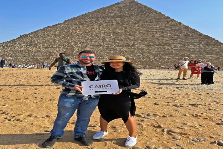
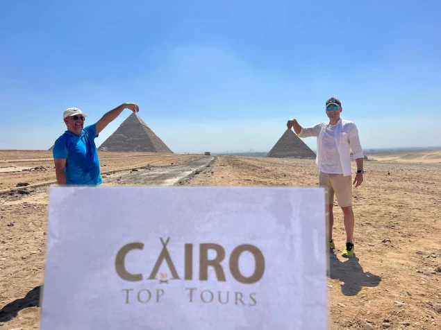
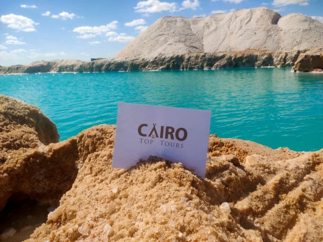
Hurghada The Capital Of the Red Sea
Hurghada is bordered to the north by the city of Ras Gharb, to the South by the town of Safaga, to the East by the Red Sea coast, and to the West by the Red Sea Mountains. Its most famous resorts are El Gouna, Sahl Hasheesh, Soma Bay, and Makadi Bay, and its main neighborhoods are Al Dahar, Al Sakala, and Al Hayy.
Naming,
The city's original name is "Hurghada" after a desert area known as"Disha Hurghada". Another opinion says that the name comes from a plant called "ghardaq", which is known as "Anab El Dib " or "Fairuz Shatan", a plant that has been growing naturally since ancient times. The fishermen from the Juhayna, Rashida, and muaza tribes were fishing in the area between the Hejaz and the Red Sea coast. They met at a large tree for the plant "Al-ghardaq" and its current location is the seaport of Hurghada, and then the name evolved to Hurghada.
History,
The city of Hurghada was established in 1905, the city previously included only a group of primitive houses inhabited by Bedouins, who were mainly concentrated in the sakkala area to work with fishing and pearls, which gave the city a nomadic character that continues with it until now. During the reign of King Farouk, a recreation center was built, which, after nationalization under President Gamal Abdel Nasser, turned into the building of the Armed Forces Water Sports Club, which is still a tourist attraction. Petroleum was discovered in that area in 1913 and actual production and export began in 1921, and the "Anglo-Egyptian Oil Wells Company Limited" was one of the first companies to start producing oil in this area. In the early 1970s, Israeli forces raided Shadwan Island and the Egyptian armed forces confronted them with the help of the people of Hurghada, in what is known as the Battle of Shadwan, a date on which the Red Sea governorate celebrates its national day.
Geography and population,
Located on the western shore of the Red Sea at a longitude of 48' 33° east and latitude of 15' 27° North, the city of Hurghada administratively follows the Red Sea governorate and is the capital of the governorate. It is bordered to the north by the city of Ras Gharb with a distance of 143 km, and to the South by the city of Safaga with a distance of 61 km, overlooking the Red Sea coast from the East, and to the West by the Red Sea Mountains, and its beaches cover an area of 40 km of the Red Sea coastline, with a total area of 460.5 km and is the fourth city in the ranking in terms of area among the cities of the Red Sea governorate after the cities of Ras Gharb, Safaga and Qusair. The urban mass of the city stretches along the coastal road parallel to the Red Sea coast at an estimated distance of 23 km, while its extension inland is no more than 3.6 km. The ancient city of Hurghada (Dahar) stretches in a longitudinal strip, sandwiched between two limestone plateaus, one in the East between the Old City and the coast, the other in the West. Therefore, the city of Hurghada is located on a coastal plain, the breadth of which varies from one region to another, and the width varies from 8 to 35 km. This shows the multiplicity of patterns of the urban fabric of the city, the spontaneous and networked fabric is concentrated in the core of the city, where urban randomness, which is characterized by poor and medium-sized buildings, mostly cohesive, in addition to the narrow and winding roads and streets ranging in width from 3 to 6 meters approximately. As for the organized mesh and ribbon fabric, it prevails in the developed urban extensions.